Off-the-shelf vision models fail on domain-specific tasks like crop disease identification or urban sprawl detection. We deliver custom-trained models that understand your unique spatial context.
- Foundation Model Fine-tuning: Specialize models like SAM 2 or Segment Anything on your annotated satellite/aerial imagery.
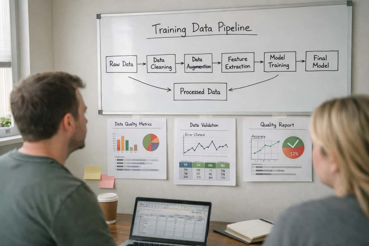
- Proprietary Data Curation: We build and manage labeled datasets from your LiDAR, multispectral imagery, and IoT sensor feeds.
- Task-Specific Optimization: Models are tuned for your exact metric—be it mAP for object detection or IoU for segmentation.


