
Inferensys

Service

Climate Risk Spatial Modeling Services

We develop predictive AI models that fuse climate data with geospatial layers to forecast and visualize risks like flood plains, wildfire susceptibility, and coastal erosion for insurance, government, and urban planning sectors.
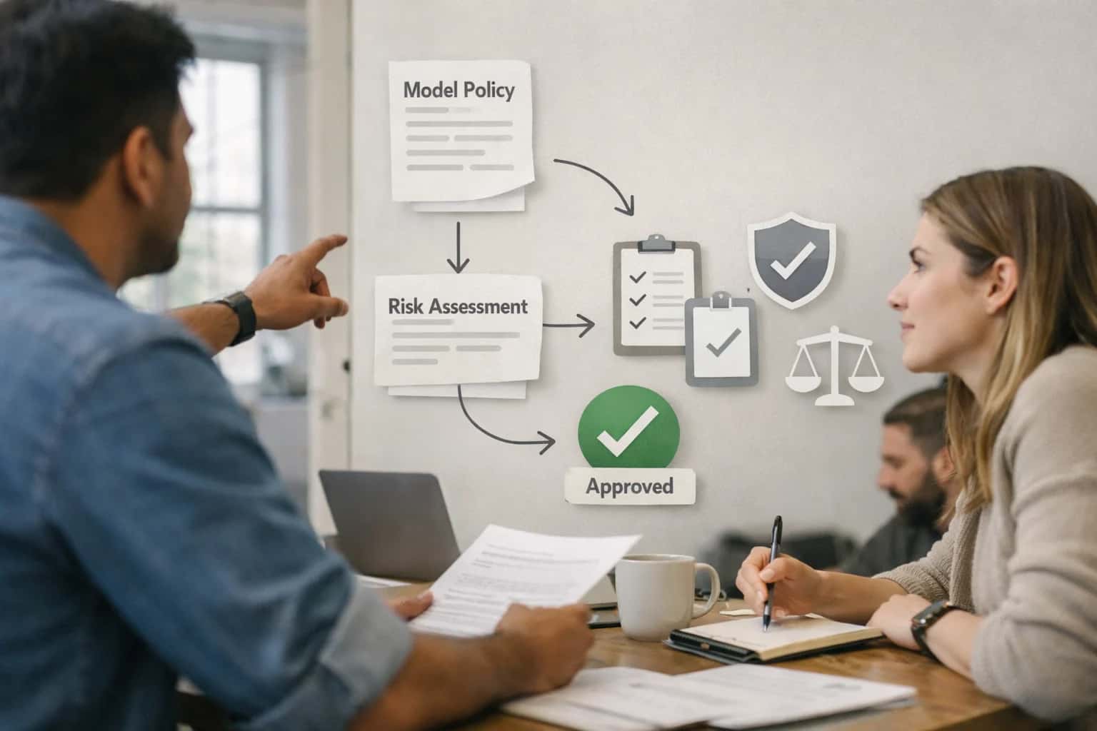
Governance lead reviewing model governance framework on laptop, policy documents visible, executive office setup.
THE DATA GAP

The Challenge of Quantifying Climate Risk

Traditional models fail to fuse disparate climate and geospatial data, leaving critical exposure blind spots.

Static flood maps and generic wildfire indices are obsolete. Modern climate risk requires dynamic, predictive AI models that integrate:

  • Multi-source data fusion: Satellite imagery, LiDAR terrain, IoT sensor streams, and historical climate models.
  • High-resolution forecasting: Projecting flood plains, coastal erosion, and fire susceptibility at the parcel level.
  • Real-time scenario modeling: Simulating the impact of extreme weather events on specific assets and supply chains.


We engineer spatial AI that quantifies risk with actuarial precision, turning volatile climate data into a strategic asset for insurance underwriting, urban resilience planning, and infrastructure investment.

Our Climate Risk Spatial Modeling service delivers:

  • Actionable intelligence dashboards for C-suite and operational teams.
  • API-integratable risk scores for embedding into existing underwriting or planning platforms.
  • Proprietary model training on your asset portfolios and regional data, ensuring relevance and accuracy.
  • Regulatory-ready reporting aligned with TCFD, IFRS S2, and emerging disclosure mandates.
ACTIONABLE INSIGHTS

Business Outcomes of AI-Powered Climate Risk Modeling

Move beyond static maps to dynamic, predictive intelligence. Our climate risk spatial modeling services deliver quantifiable business value by translating complex geospatial data into strategic, forward-looking decisions.

04

Optimized Portfolio & Asset Management

Conduct scenario analysis across real estate, agricultural, or industrial portfolios. Visualize risk exposure under multiple climate pathways to inform acquisition, divestment, and retrofit strategies, protecting asset value and securing financing.

Weeks
vs. Manual Analysis
Structured Implementation Roadmap

Typical Project Timeline and Deliverables

A clear breakdown of phases, key outputs, and timelines for our Climate Risk Spatial Modeling engagements, designed for enterprise planning and stakeholder alignment.

Phase & Key DeliverablesTimelineStarter PackageEnterprise Package

Discovery & Data Audit

Weeks 1-2

  • Risk Framework Definition Document
  • Data Source & Quality Assessment Report

Model Development & Training

Weeks 3-8

1 Risk Model (e.g., Flood)

2-3 Multi-Hazard Models

  • Custom AI Model (TensorFlow/PyTorch)
  • Validation Report with Accuracy Metrics (>90%)

Spatial Platform Integration

Weeks 9-12

Basic Web Dashboard

ArcGIS Enterprise / Custom API

  • Interactive Risk Visualization Layer
  • API Endpoints for Model Inference

Deployment & Knowledge Transfer

Week 13

Documentation & Support Handoff

On-site Training & SLA

  • Production Deployment on Client Cloud/AWS
  • Operational Runbook & Maintenance Guide

Ongoing Support & Model Retraining

Post-Launch

Optional Retainer

Included Quarterly Retraining

  • Uptime & Performance Monitoring
  • Model Updates with New Climate Data
INDUSTRY APPLICATIONS

Climate Risk Spatial Modeling Services

Our predictive AI models fuse climate projections with geospatial intelligence to deliver actionable risk forecasts, enabling data-driven resilience planning and financial protection.

01

Insurance Underwriting & Portfolio Risk

Quantify climate exposure at the asset level with granular flood, wildfire, and coastal erosion models. Integrate probabilistic risk scores directly into underwriting platforms to price policies accurately and manage portfolio concentration. Learn more about our approach to Geospatial AI and Spatial Analytics (GeoAI).

30%
Reduction in Loss Ratios
Asset-Level
Risk Scoring
02

Municipal & Urban Resilience Planning

Model future climate impacts on city infrastructure to prioritize capital investments. Simulate stormwater runoff, heat island effects, and sea-level rise scenarios to design adaptive zoning and green infrastructure. This work is foundational for Smart City Geospatial Infrastructure Planning.

Decadal
Impact Forecasting
High-Res
Scenario Modeling
03

Real Estate Development & Due Diligence

Incorporate forward-looking climate risk into site selection and long-term asset valuation. Our models provide due diligence reports highlighting susceptibility to permafrost thaw, subsidence, and extreme precipitation over a 30-year horizon.

30-Year
Risk Horizon
Site-Specific
Vulnerability Reports
04

Agricultural Supply Chain Security

Predict regional crop yield volatility and supply chain disruptions from drought, flooding, and pest migration. Enable proactive sourcing strategies and climate-smart agriculture investments by modeling biophysical impacts on key growing regions.

Regional
Yield Forecasting
Proactive
Disruption Alerts
05

Energy & Utility Asset Management

Protect critical infrastructure by forecasting climate stressors on transmission lines, substations, and generation facilities. Model wildfire proximity to power lines, flood risk to coastal plants, and permafrost stability for pipelines to schedule preemptive hardening.

Weeks Ahead
Failure Prediction
Asset-Level
Hardening Priority
06

Corporate ESG & Climate Disclosure

Automate the calculation of physical climate risk exposure for TCFD, IFRS S2, and CSRD reporting. Generate auditable, location-specific data on assets and operations to substantiate climate-related financial disclosures and transition plans.

Audit-Ready
Data Lineage
Regulatory
Framework Alignment
CLIMATE RISK MODELING

Our Methodology: From Data to Decision Intelligence

We transform disparate climate and geospatial data into predictive, actionable intelligence for enterprise risk management.

Our process delivers quantifiable risk scores and high-resolution hazard maps for assets and portfolios. We move beyond static reports to dynamic intelligence platforms.

We architect systems that don't just report on climate risk—they enable proactive capital allocation and strategic adaptation planning.

  • Data Fusion & Curation: We ingest and harmonize multi-source data—from CMIP6 climate projections and Sentinel-2 satellite feeds to local hydrological models and property-level exposure data.
  • Predictive Model Engineering: We build and validate custom ensembles of deep learning models (e.g., UNet++ for flood plain delineation, XGBoost for wildfire susceptibility) to forecast risks at a 1km to 10m resolution.
  • Intelligence Layer Integration: Models are deployed into scalable APIs or integrated directly into your existing GIS platforms (ArcGIS, QGIS) and risk management dashboards, enabling real-time scenario analysis.

The outcome is a proprietary, auditable risk intelligence system that reduces model development time by 60% and provides the spatial granularity needed for underwriting, asset management, and regulatory compliance like TCFD reporting. Explore our broader capabilities in Geospatial AI and Spatial Analytics or see how we apply similar predictive engineering in Energy Grid Optimization.

Technical and Commercial Considerations

Frequently Asked Questions on Climate Risk AI

Get specific answers on timelines, costs, and technical implementation for our Climate Risk Spatial Modeling services, designed for enterprise and government clients.

A production-ready Climate Risk AI model is typically deployed in 4-8 weeks. This includes a 1-2 week discovery and data assessment phase, 2-4 weeks for model development and initial training on your proprietary datasets, and 1-2 weeks for integration and validation. For complex, multi-hazard models (e.g., combined flood, wildfire, erosion), timelines extend to 10-12 weeks. We provide a detailed project plan with weekly milestones upon engagement.

Prasad Kumkar

About the author

Prasad Kumkar

CEO & MD, Inference Systems

Prasad Kumkar is the CEO & MD of Inference Systems and writes about AI systems architecture, LLM infrastructure, model serving, evaluation, and production deployment. Over 5+ years, he has worked across computer vision models, L5 autonomous vehicle systems, and LLM research, with a focus on taking complex AI ideas into real-world engineering systems.

His work and writing cover AI systems, large language models, AI agents, multimodal systems, autonomous systems, inference optimization, RAG, evaluation, and production AI engineering.


