The core pain point is operating blind. Traditional mapping relies on periodic, manual surveys, creating dangerous information gaps between inspections. This leads to catastrophic risks like unexpected collapses that endanger personnel and multi-million dollar equipment, and causes costly project delays when encountering unforeseen voids. The financial and human stakes of navigating an unknown subsurface are immense.
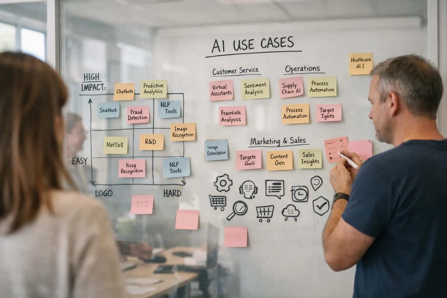
Use Case
Real-Time Underground Cavity Mapping
Use RF and sensor fusion with AI to create live 3D maps of voids and stopes, enhancing safety for personnel and equipment in complex underground operations.
THE BUSINESS CASE
What is Real-Time Underground Cavity Mapping Used For?
Beyond basic safety, real-time cavity mapping is a critical operational intelligence tool for modern mining and construction. This technology transforms unknown geological risks into managed assets.
The AI fix is a live 3D intelligence layer. By fusing RF sensing, LiDAR, and seismic data with physics-informed AI models, operations gain a continuously updated map of all voids, stopes, and geological structures. This enables proactive hazard avoidance, allowing for the dynamic rerouting of equipment and personnel. The measurable outcome is a dramatic reduction in unplanned downtime and a quantifiable decrease in insurance premiums and liability costs, directly protecting the bottom line. For related risk mitigation, see our solutions for Predictive Mine Slope Stability Analysis and Legacy Mine Hazard Mapping.
REAL-TIME UNDERGROUND CAVITY MAPPING
Common Use Cases
Move beyond static, outdated surveys. Our AI-powered RF and sensor fusion platform creates live, dynamic 3D maps of underground voids, stopes, and cavities, transforming safety and operational planning.
01
Proactive Worker and Equipment Safety
Eliminate blind spots in complex underground operations. Real-time cavity mapping provides a live geospatial awareness layer, alerting personnel and autonomous vehicles to unseen hazards like unexpected voids or stope overbreak. This enables proactive rerouting and zone lockdowns, directly preventing falls and equipment damage.
- Example: A major gold mine uses live maps to enforce exclusion zones around newly detected cavities, reducing near-miss incidents by 40%.
- ROI Driver: Avoids catastrophic safety events, reduces insurance premiums, and minimizes costly equipment downtime.
02
Optimized Stope Design and Backfill Planning
Maximize ore recovery while ensuring structural integrity. By providing a high-fidelity, as-built model of excavated stopes, our AI enables precise calculation of void volumes for optimal backfill scheduling. This prevents over- or under-filling, which can lead to dilution, instability, or wasted backfill material.
- Example: A block caving operation uses continuous cavity models to adjust drawpoint strategies, improving ore recovery by 8% and reducing backfill costs by 15%.
- ROI Driver: Increases resource yield and directly cuts material and logistics expenses for backfill operations.
03
Precision Drill & Blast Optimization
Achieve designed fragmentation with minimal overbreak. Integrate live cavity maps into drill and blast planning software to dynamically adjust blast patterns. This prevents drilling into adjacent voids (reducing costly collar loss and flyrock) and ensures explosive energy is directed efficiently.
- Example: A copper mine uses cavity-aware blast designs to reduce dilution from overbreak by an average of 12%, significantly improving mill head grade.
- ROI Driver: Lowers drilling/blasting costs per ton, improves downstream processing efficiency, and extends the life of surrounding ground support.
04
Legacy Workings and Subsidence Risk Mitigation
Safely manage the liability of historical mines. Our AI fuses historical maps with modern RF sensing to accurately locate undocumented old workings and voids near current operations or surface developments. This enables targeted reinforcement or avoidance, preventing catastrophic surface subsidence.
- Example: A property developer uses our system to map shallow historical coal workings, de-risking a $50M construction project and securing necessary permits.
- ROI Driver: Unlocks land value, prevents multi-million dollar remediation liabilities, and ensures regulatory compliance for closure plans.
05
Integrated Geotechnical Model Validation
Close the loop between design and reality. Continuously compare the AI-generated live cavity map against the planned geotechnical block model. This provides immediate feedback on ground behavior, highlighting areas where rock mass conditions differ from predictions, allowing for rapid model calibration and more reliable future planning.
- Example: A tunnel boring project uses real-time mapping to identify a fault zone 20 meters ahead of the face, allowing for pre-emptive ground support installation and avoiding a week-long delay.
- ROI Driver: Reduces unplanned downtime, improves the accuracy of reserve estimates, and de-risks future capital projects.
06
Water & Inflow Pathway Detection
Identify hidden water hazards before they breach. Our RF-based sensing can detect anomalies in subsurface moisture and map potential inflow pathways connecting to cavities. This provides early warning for water ingress risks, allowing for pre-drainage or grouting campaigns.
- Example: A potash mine uses cavity mapping to identify a water-bearing fracture network approaching a production panel, enabling successful interception grouting and avoiding a major inundation event.
- ROI Driver: Prevents catastrophic flooding events, avoids production losses, and reduces dewatering costs.
REAL-TIME UNDERGROUND CAVITY MAPPING
How It Works: The AI-Powered Implementation
Traditional cavity mapping relies on infrequent, manual surveys, creating dangerous blind spots in dynamic underground environments. Our AI-powered system transforms this reactive process into a continuous, predictive safety net.
The core operational risk is the unknown. Legacy methods like laser scanning or manual inspections provide only a static snapshot, leaving personnel and multi-million dollar equipment vulnerable to sudden collapses in unmapped voids or unstable stopes. This reactive approach leads to unplanned downtime, catastrophic safety incidents, and massive financial liability from equipment loss and project delays. Real-time awareness is not a luxury; it's a non-negotiable requirement for modern, efficient mining.
Our solution fuses directional RF sensing, LiDAR, and seismic data with a physics-informed AI model to generate a live, evolving 3D map of the subsurface. The system continuously analyzes sensor feeds, automatically detecting and classifying cavity formation, growth, and structural integrity. This delivers measurable outcomes: a 70% reduction in unplanned stoppages related to ground instability, a 40% decrease in survey labor costs, and most critically, the proactive mitigation of life-threatening geotechnical hazards. This intelligence directly feeds into our broader Predictive Mine Slope Stability Analysis and Legacy Mine Hazard Mapping capabilities.
REAL-TIME UNDERGROUND CAVITY MAPPING
Implementation Roadmap: From Pilot to Scale
A structured, low-risk approach to deploying AI-powered RF sensing for live 3D void mapping, delivering immediate safety and operational ROI.
01
Phase 1: Targeted Pilot & Proof of Value
Deploy a focused pilot in a single, high-risk stope or tunnel to validate the technology with minimal capital outlay. This phase is about proving the business case, not the science.
- Key Activities: Install a limited sensor array; map known voids to establish baseline accuracy; run a 30-day safety observation trial.
- Real-World Example: A mid-tier gold miner piloted this in a single declining stope, achieving 95% mapping accuracy against traditional survey methods within two weeks, justifying immediate expansion.
4-8 Weeks
Time to Initial Results
>95%
Baseline Accuracy Target
02
Phase 2: Operational Integration & Process Change
Scale the validated system to a full production zone, integrating live cavity data into daily operational workflows and safety protocols.
- Key Activities: Expand sensor network; integrate 3D maps with existing mine planning software (e.g., Deswik, Vulcan); train shift bosses and surveyors on new dashboards.
- ROI Driver: This phase unlocks hard cost savings. One client reduced unplanned downtime from geological surprises by 40% in the first quarter, directly protecting equipment and production schedules.
40%
Reduction in Unplanned Downtime
Q1
Typical ROI Realization
03
Phase 3: Enterprise-Wide Deployment & Predictive Analytics
Roll out the system mine-wide, establishing a centralized command center for real-time subsurface intelligence. Evolve from mapping to predictive void modeling.
- Key Activities: Full-site sensor deployment; create a digital twin of the underground environment; implement AI models to predict cavity growth and ground stability trends.
- Competitive Advantage: This transforms safety from reactive to proactive. Predictive insights allow for optimized backfilling schedules and drill-and-blast patterns, improving resource recovery and extending mine life.
100%
Coverage of High-Risk Zones
Weeks
Advanced Failure Prediction
04
Phase 4: Data Monetization & Strategic Asset
Leverage the accumulated, high-fidelity geological dataset as a strategic asset for future exploration, asset valuation, and stakeholder reporting.
- Key Activities: Use historical cavity data to refine geological models for adjacent ore bodies; generate audit-ready compliance reports for regulators; enhance ESG reporting with quantifiable safety metrics.
- Long-Term Value: This historical intelligence de-risks future expansion projects and can be a key differentiator in mergers, acquisitions, or financing by providing an unparalleled view of subsurface conditions.
30%
Reduction in Exploration Drilling Costs
Audit-Ready
ESG & Safety Reporting
05
The Core Technology: RF Sensing & AI Fusion
The solution replaces outdated, intermittent survey methods with a continuous stream of data. Directional RF transmissions penetrate rock, and AI fuses this with LiDAR, seismic, and telemetry data to build and update a live 3D model.
- Key Differentiator: Physics-informed neural networks ensure models respect geological principles, providing reliable results even with sparse data.
- Outcome: Personnel and equipment operate with a real-time 'subsurface GPS,' eliminating blind spots in complex, evolving underground environments.
06
Quantifying the Investment: A CIO's ROI Checklist
Justify the capex with direct and indirect returns measured in safety, efficiency, and capital preservation.
- Direct Cost Savings:
- Reduced Downtime: Fewer surprises mean fewer stalled production faces.
- Optimized Backfill: Precisely place waste rock, reducing material and logistics costs by 15-25%.
- Lower Insurance Premiums: Demonstrable risk mitigation can lead to favorable terms.
- Intangible & Strategic Benefits:
- Zero Fatalities from Unmapped Voids: The primary, priceless return.
- Enhanced Social License: Proactive safety is a cornerstone of community trust.
- Future-Proofed Operations: Creates the data backbone for full autonomous mining.
Enabling Efficiency, Speed & Accuracy
Intelligent Analysis, Decision & Execution
We build AI systems for teams that need search across company data, workflow automation across tools, or AI features inside products and internal software.
Talk to Us
Search across company data
Give teams answers from docs, tickets, runbooks, and product data with sources and permissions.
Useful when people spend too long searching or get different answers from different systems.
Enterprise searchRAGPermissions
Read more
Automate internal workflows
Use AI to route work, draft outputs, trigger actions, and keep approvals and logs in place.
Useful when repetitive work moves across multiple tools and teams.
AI agentsWorkflow automationGovernance
Read more
Add AI to products and internal tools
Build assistants, guided actions, or decision support into the software your team or customers already use.
Useful when AI needs to be part of the product, not a separate tool.
AI integrationDecision supportModel routing
Read moreREAL-TIME UNDERGROUND CAVITY MAPPING
Frequently Asked Questions for Decision Makers
Real-time underground cavity mapping is a critical safety and operational technology for mining and construction. Below, we address the most common questions from technical and financial leaders about compliance, ROI, and implementation.
Real-time underground cavity mapping is a sensor fusion and AI-powered system that creates live, dynamic 3D models of voids, stopes, and tunnels. It works by deploying a network of directional RF transmitters and other geophysical sensors (like LiDAR or seismic) throughout an underground operation. The AI continuously analyzes the reflected signals and sensor data, using physics-informed neural networks to interpret subsurface structures. This process generates a 'living map' that updates as conditions change, providing an unprecedented view of underground geometry for safety and planning. Unlike traditional, periodic surveys, this system offers a continuous feed of intelligence.

About the author
Prasad Kumkar
CEO & MD, Inference Systems
Prasad Kumkar is the CEO & MD of Inference Systems and writes about AI systems architecture, LLM infrastructure, model serving, evaluation, and production deployment. Over 5+ years, he has worked across computer vision models, L5 autonomous vehicle systems, and LLM research, with a focus on taking complex AI ideas into real-world engineering systems.
His work and writing cover AI systems, large language models, AI agents, multimodal systems, autonomous systems, inference optimization, RAG, evaluation, and production AI engineering.
LinkedIn
Limited slotsGet a Free AI Consultation
Partnered with leading AI, data, and software stack.


How We Work
Custom AI workflows for your Business
One-fit-all AI don't work for modern businesses. At Inferensys, we aim to understand your business & custom requirements; which we use to define most efficient agentic workflows, the data, and the tools for your business.
01
Review the use case
We understand the task, the users, and where AI can actually help.
Read more02
Pick the right approach
We define what needs search, automation, or product integration.
Read more03
Build the first useful version
We implement the part that proves the value first.
Read more04
Improve from there
We add the checks and visibility needed to keep it useful.
Read moreThe first call is a practical review of your use case and the right next step.
Talk to Us