Sensor fusion is the algorithmic process of combining data from disparate sensors—such as cameras, Inertial Measurement Units (IMUs), LiDAR, and radar—to produce a state estimate that is more accurate, complete, and reliable than any single source could provide. This technique is critical for robust state estimation in autonomous systems, where it compensates for the weaknesses of individual sensors; for example, fusing vision with inertial data maintains tracking during rapid motion or visual occlusion. Core mathematical frameworks include the Kalman filter and its nonlinear variants, which recursively predict and correct the system's 6DoF pose.
Glossary
Sensor Fusion
Sensor fusion is the algorithmic process of combining data from multiple sensors to produce a more accurate, complete, and reliable estimate of the state of a system or environment.
SPATIAL COMPUTING ARCHITECTURES
What is Sensor Fusion?
Sensor fusion is the foundational process in spatial computing that integrates data from multiple sensors to create a unified, reliable model of the physical world.
In spatial computing architectures, sensor fusion enables core capabilities like Visual-Inertial Odometry (VIO) and Simultaneous Localization and Mapping (SLAM). By aligning point clouds from LiDAR with visual features and inertial data, systems can build a consistent global map and achieve precise loop closure. This multi-modal integration is essential for creating the scene understanding and spatial mapping required for augmented reality, autonomous navigation, and digital twin creation, ensuring the virtual representation remains tightly registered to the dynamic physical world.
ARCHITECTURAL ADVANTAGES
Key Benefits of Sensor Fusion
Sensor fusion integrates data from multiple, disparate sensors to create a unified perception model. The core benefits stem from overcoming the inherent limitations of any single sensor modality.
01
Increased Accuracy and Reliability
Sensor fusion reduces uncertainty and mitigates sensor-specific errors by statistically combining measurements. For example, a camera provides precise angular measurements but poor depth, while LiDAR provides accurate depth but sparse data. Fusing them yields a more accurate 3D point. Key techniques include:
- Kalman Filters: Optimal recursive estimation for linear systems.
- Particle Filters: Handle non-linearities and multi-modal distributions.
- Bayesian Networks: Model probabilistic dependencies between sensors. This redundancy makes the system robust to the temporary failure or degradation of any single sensor.
02
Extended Spatial and Temporal Coverage
Different sensors have complementary fields of view and operational domains. Fusion creates a continuous perception field. For instance:
- Cameras have a narrow, high-resolution field of view but are degraded by darkness.
- Radar has a wide aperture and works in all weather but provides low-resolution data.
- Ultrasonic sensors cover immediate blind spots. Fusing these creates a 360-degree, all-weather situational awareness. Temporally, high-rate Inertial Measurement Units (IMUs) fill gaps between lower-frame-rate camera or LiDAR updates, enabling smooth, high-frequency pose estimation critical for Visual-Inertial Odometry (VIO).
03
Enhanced Robustness in Degraded Conditions
Fusion provides graceful degradation when individual sensor modalities fail. The system maintains functionality by re-weighting confidence in available sensors. Common failure modes addressed:
- Visual Degradation: Cameras fail in low light, fog, or glare. Fusion falls back to LiDAR/Radar.
- LiDAR Degradation: Heavy rain or snow scatters laser pulses. Camera semantics and radar fill the gap.
- IMU Drift: Accelerometers and gyroscopes accumulate error over time. Absolute measurements from cameras or GPS provide periodic correction (loop closure). This creates a system more reliable than the sum of its parts.
04
Disambiguation and Contextual Understanding
Fusion resolves ambiguities inherent in single-sensor data by providing complementary evidence. A camera might classify a distant object as a 'pedestrian,' but radar Doppler velocity can confirm it is stationary (a signpost), not moving. Key disambiguation tasks:
- Static vs. Dynamic Object Classification: Fusing camera semantics with radar velocity.
- Material Property Inference: Combining camera color/texture with LiDAR reflectivity.
- Depth Ambiguity Resolution: Using stereo vision or LiDAR to resolve monocular depth uncertainty. This leads to higher-confidence object detection, tracking, and scene understanding.
05
Foundation for High-Level Scene Understanding
Raw fused data feeds into perception stacks that build a unified world model. This model is essential for autonomous decision-making. The process involves:
- Low-Level Fusion: Combining raw or feature-level data (e.g., pixel depth + IMU acceleration).
- Object-Level Fusion: Associating and tracking objects detected by different sensors.
- Semantic Fusion: Merging semantic segmentation labels from cameras with geometric clusters from LiDAR to create labeled 3D entities. The output is a comprehensive occupancy grid or vectorized scene used for path planning in robotics and AR/VR.
06
Critical for Safety-Critical Systems
In autonomous vehicles, surgical robots, and aerospace, sensor fusion is non-negotiable for functional safety (ISO 26262, DO-178C). It enables:
- Fault Detection and Isolation: Cross-validation between sensors identifies faulty units.
- Predictive Integrity Monitoring: Estimating the confidence bounds of the fused state estimate.
- Redundant Architecture: Designing diverse sensor suites (e.g., optical, radio, inertial) to avoid common-cause failures. This systematic approach to reliability is what allows Simultaneous Localization and Mapping (SLAM) systems to operate safely in dynamic, unstructured environments over long durations.
ARCHITECTURAL COMPARISON
Sensor Fusion vs. Related Concepts
A technical comparison of Sensor Fusion against core adjacent techniques in spatial computing, highlighting their distinct data inputs, outputs, and primary applications.
| Feature / Metric | Sensor Fusion | Visual SLAM | Visual-Inertial Odometry (VIO) | Semantic Segmentation |
|---|---|---|---|---|
Primary Objective | Create a unified, accurate state estimate | Build a map and localize within it | Estimate robust, high-frequency device pose | Assign class labels to every image pixel |
Core Data Inputs | Heterogeneous (Camera, IMU, LiDAR, GPS, etc.) | Primarily visual (mono/stereo/RGB-D camera) | Visual (camera) + inertial (IMU) | Single image or video frame |
Output | Fused state vector (pose, velocity, object list) | Sparse/Dense 3D map + camera trajectory | 6DoF pose estimate (position & orientation) | 2D pixel-wise classification map |
Temporal Dependency | Real-time sequential filtering | Often sequential with global optimization | Real-time sequential filtering | Per-frame (can be sequential for video) |
Handles Sensor Failure | ||||
Mitigates Visual Degradation (e.g., motion blur, low light) | ||||
Provides Semantic Understanding | ||||
Typical Latency | < 10 ms | 10-100 ms | < 5 ms | 15-50 ms |
Key Algorithm/Filter | Kalman Filter, Particle Filter | Bundle Adjustment, Pose Graph Optimization | Extended Kalman Filter (EKF), Optimization-based | Convolutional Neural Network (CNN) |
Primary Application Context | Autonomous vehicles, robotics, AR/VR tracking | Robotic navigation, 3D reconstruction | Mobile AR, drone navigation | Scene understanding, autonomous driving perception |
SENSOR FUSION
Frequently Asked Questions
Sensor fusion is the algorithmic core of spatial computing, combining data from cameras, IMUs, LiDAR, and other sensors to create a unified, accurate, and reliable model of the physical world. These FAQs address the fundamental techniques, architectures, and applications that enable autonomous systems to perceive and navigate.
Sensor fusion is the process of algorithmically combining data from multiple, disparate sensors (e.g., cameras, Inertial Measurement Units (IMUs), LiDAR, radar) to produce a state estimate that is more accurate, complete, and reliable than the output of any single sensor. It works by using probabilistic models, like a Kalman filter or particle filter, to predict a system's state (e.g., its 6DoF pose), then updates that prediction by fusing in new, asynchronous measurements from different sensors, each weighted by its estimated uncertainty. For example, a camera provides high-accuracy orientation but can fail in low light, while an IMU provides high-frequency motion data but drifts over time; fusion compensates for the weaknesses of each.
Enabling Efficiency, Speed & Accuracy
Intelligent Analysis, Decision & Execution
We build AI systems for teams that need search across company data, workflow automation across tools, or AI features inside products and internal software.
Talk to Us
Search across company data
Give teams answers from docs, tickets, runbooks, and product data with sources and permissions.
Useful when people spend too long searching or get different answers from different systems.
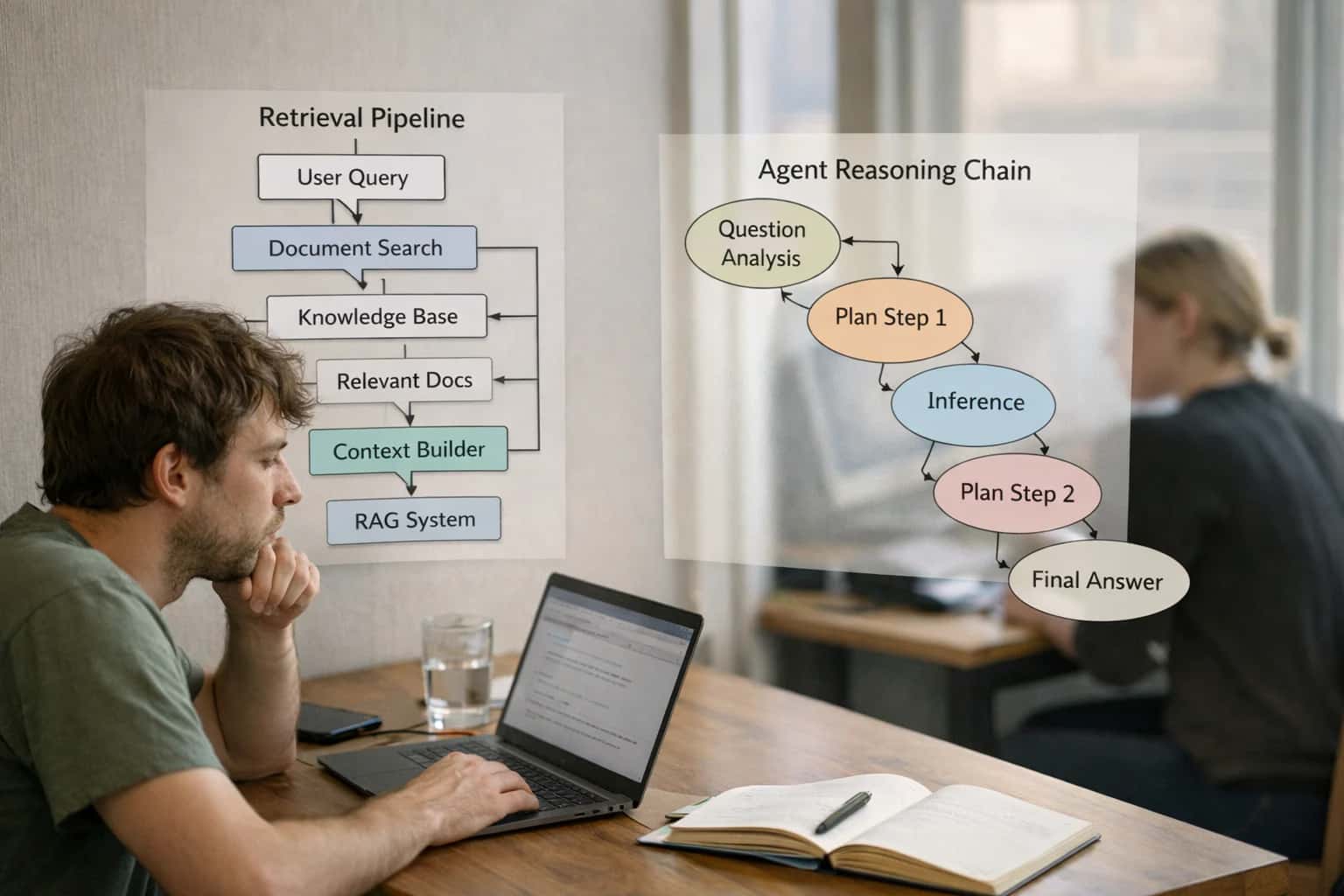
Enterprise searchRAGPermissions
Read more
Automate internal workflows
Use AI to route work, draft outputs, trigger actions, and keep approvals and logs in place.
Useful when repetitive work moves across multiple tools and teams.
AI agentsWorkflow automationGovernance
Read more
Add AI to products and internal tools
Build assistants, guided actions, or decision support into the software your team or customers already use.
Useful when AI needs to be part of the product, not a separate tool.
AI integrationDecision supportModel routing
Read more
About the author
Prasad Kumkar
CEO & MD, Inference Systems
Prasad Kumkar is the CEO & MD of Inference Systems and writes about AI systems architecture, LLM infrastructure, model serving, evaluation, and production deployment. Over 5+ years, he has worked across computer vision models, L5 autonomous vehicle systems, and LLM research, with a focus on taking complex AI ideas into real-world engineering systems.
His work and writing cover AI systems, large language models, AI agents, multimodal systems, autonomous systems, inference optimization, RAG, evaluation, and production AI engineering.
LinkedIn
Limited slotsGet a Free AI Consultation
Partnered with leading AI, data, and software stack.


How We Work
Custom AI workflows for your Business
One-fit-all AI don't work for modern businesses. At Inferensys, we aim to understand your business & custom requirements; which we use to define most efficient agentic workflows, the data, and the tools for your business.
01
Review the use case
We understand the task, the users, and where AI can actually help.
Read more02
Pick the right approach
We define what needs search, automation, or product integration.
Read more03
Build the first useful version
We implement the part that proves the value first.
Read more04
Improve from there
We add the checks and visibility needed to keep it useful.
Read moreThe first call is a practical review of your use case and the right next step.
Talk to Us