Loop closure is the process in a SLAM system where it recognizes it has returned to a previously mapped location, enabling a correction of accumulated drift in its estimated trajectory and map. This detection triggers a global optimization, often using a pose graph, to enforce consistency by redistributing the positional error accumulated along the path. The result is a globally consistent and accurate map essential for reliable long-term autonomy.
Glossary
Loop Closure
Loop closure is the process in SLAM where a system recognizes a previously visited location, allowing it to correct accumulated drift in its pose estimate and map by enforcing global consistency.
SPATIAL COMPUTING
What is Loop Closure?
Loop closure is a critical algorithmic process in Simultaneous Localization and Mapping (SLAM) that corrects accumulated positional drift by recognizing a previously visited location.
Successful loop closure relies on robust place recognition, where the system matches current sensor observations—like visual features or point clouds—against a database of past locations. This is a computationally challenging data association problem. When a loop is closed, techniques like bundle adjustment or pose graph optimization update all past poses and map points, dramatically improving the system's overall accuracy and enabling reliable navigation and mapping over large scales.
SPATIAL COMPUTING ARCHITECTURES
Key Characteristics of Loop Closure
Loop closure is a critical correction mechanism in SLAM that ensures global consistency by recognizing previously visited locations. Its characteristics define the robustness and accuracy of a spatial mapping system.
01
Drift Correction
The primary function of loop closure is to correct accumulated pose drift, a systemic error that grows over time as a robot or device moves. This drift arises from small inaccuracies in odometry or visual-inertial odometry (VIO). When a loop is detected, the system calculates a spatial constraint between the current pose and the historical pose, then distributes the correction error backward along the estimated trajectory using pose graph optimization. This global adjustment ensures the map remains metrically consistent and usable for navigation.
02
Place Recognition
Loop closure relies on robust place recognition—the ability to determine 'I have been here before' from sensor data. This is not simple replay; the scene may be viewed from a different angle, under different lighting, or with partial occlusion. Systems use:
- Appearance-based methods: Comparing visual descriptors (e.g., ORB, SIFT) from current and past keyframes.
- Geometric verification: Using estimated 3D structure (point clouds) to validate a match beyond visual similarity.
- Semantic cues: Leveraging recognized objects (from semantic segmentation) as stable landmarks for recognition, which can be more invariant to viewpoint changes.
03
Pose Graph Optimization
Upon loop detection, the system performs non-linear optimization on a pose graph. In this graph:
- Nodes represent estimated device poses over time.
- Edges represent constraints between poses, derived from odometry or sensor measurements. The new loop closure creates a 'short-circuit' edge connecting non-sequential nodes. Optimization algorithms like g2o or Ceres Solver then adjust all node positions to satisfy all constraints with minimal error, effectively 'pulling' the entire trajectory into alignment. This is a back-end process distinct from the front-end tracking.
04
Robustness & Outlier Rejection
False positive loop closures (incorrectly matching two different places) are catastrophic, as they introduce error rather than correcting it. Systems implement multiple layers of robustness:
- Geometric consistency checks: Using RANSAC to find a valid geometric transformation (e.g., using Essential matrix or 3D rigid transformation) between matched points.
- Temporal consistency: Requiring multiple consecutive detections to confirm a loop.
- Covariance estimation: Assessing the uncertainty of the sensor measurements that generated the constraint. Outlier loops are rejected before they can corrupt the optimization.
05
Global vs. Local Consistency
Loop closure enforces global consistency across the entire map. Without it, a system only maintains local consistency—the map is accurate over short distances but becomes globally distorted (like a stretched rubber band). This distinction is critical for applications:
- Autonomous vehicles require a globally consistent map for planning routes over kilometers.
- Multi-session AR needs a persistent map that aligns perfectly across different uses of a space.
- Digital twins demand metric accuracy that matches the real world at all scales. Loop closure is the process that bridges local tracking to a globally accurate representation.
06
Computational Triggers
Performing place recognition against the entire map history on every frame is computationally prohibitive. Systems use smart triggers:
- Keyframe-based: Comparison is only done against a sparse set of keyframes, not all frames.
- Geographic hashing: Candidate keyframes are retrieved based on coarse location estimates.
- Bag-of-Words models: Visual vocabulary trees enable fast querying of images with similar visual words.
- Intermittent execution: The loop closure module often runs on a separate, lower-frequency thread than the main tracking thread to avoid disrupting real-time performance.
SPATIAL COMPUTING ARCHITECTURES
How Loop Closure Works: A Technical Breakdown
Loop closure is the critical correction mechanism in SLAM that prevents cumulative drift by recognizing previously visited locations.
Loop closure is the process in Simultaneous Localization and Mapping (SLAM) where a system recognizes it has returned to a previously visited location, enabling it to correct accumulated drift in its pose estimate and map. This detection, often achieved by matching current sensor observations against a global map of stored keyframes or landmarks, triggers a global optimization. The system then enforces consistency by adjusting all past poses and map points within a pose graph, minimizing total error.
The optimization typically uses techniques like bundle adjustment or pose graph solvers to distribute the correction back through the estimated trajectory. Successful loop closure is essential for creating a globally consistent, metrically accurate map, which is foundational for long-term autonomy in robotics and persistent AR experiences. It transforms a series of locally accurate but drifting submaps into a single, coherent world model.
SPATIAL COMPUTING
Real-World Applications of Loop Closure
Loop closure is not just an academic concept; it is the critical mechanism that enables long-term, large-scale autonomy and accurate digital replication of the physical world. Its applications span industries where precise spatial awareness is paramount.
01
Autonomous Vehicle Navigation
Self-driving cars use loop closure within their Visual SLAM and LiDAR SLAM systems to maintain centimeter-accurate localization over city-scale distances. By recognizing previously visited intersections or landmarks, the vehicle corrects odometry drift accumulated from wheel encoders and inertial sensors. This is essential for safe lane-keeping and precise maneuver planning. Systems like Tesla's Autopilot and Waymo's driver rely on these corrections to build consistent, high-definition maps.
< 10 cm
Localization Accuracy
1000+ km
Operational Range
02
Augmented & Mixed Reality
In AR headsets like Microsoft HoloLens and Meta Quest Pro, loop closure allows virtual objects to stay locked in place. When a user revisits a room, the system recognizes it, corrects its internal pose graph, and recalls the precise location of previously placed holograms. This enables persistent multi-user experiences and is fundamental to spatial anchor systems. Without loop closure, virtual content would drift and jitter, breaking immersion.
Sub-millimeter
Anchor Stability
03
Robotic Warehousing & Logistics
Autonomous Mobile Robots (AMRs) in fulfillment centers use loop closure to navigate vast, dynamic warehouses reliably. By recognizing specific rack configurations, columns, or QR codes, they correct dead-reckoning errors. This enables:
- Precise inventory picking at exact bin locations.
- Efficient multi-robot path planning on a consistent global map.
- 24/7 operation without manual repositioning or external beacons. Companies like Amazon Robotics and Boston Dynamics deploy these systems for material handling.
99.9%
Task Success Rate
05
Precision Agriculture & Forestry
Autonomous tractors and surveying drones in agriculture use loop closure to map fields and execute precise operations like seeding or spraying. By recognizing visual features (crop rows, boundary trees) or using RTK-GNSS as a ground truth signal, they build consistent maps across multiple growing seasons. This enables:
- Yield mapping with exact location correlation.
- Variable-rate application of inputs based on historical data.
- Autonomous navigation under canopy cover where GPS is unreliable.
SPATIAL COMPUTING GLOSSARY
Frequently Asked Questions About Loop Closure
Loop closure is a critical mechanism in Simultaneous Localization and Mapping (SLAM) that corrects accumulated drift by recognizing previously visited locations. This FAQ addresses its core principles, technical implementation, and role in building accurate spatial maps.
Loop closure is the process in a Simultaneous Localization and Mapping (SLAM) system where it recognizes it has returned to a previously visited location, enabling it to correct accumulated drift in its estimated trajectory and the constructed map by enforcing global consistency.
When a mobile robot or AR/VR device moves through an environment, small errors in its odometry (motion estimation) accumulate over time, causing its estimated position (pose) and the map to drift from reality. Loop closure detects a revisit event, often by matching current sensor observations (e.g., camera images, LiDAR scans) against a database of past observations. Upon detection, it creates a spatial constraint between the current pose and the historical pose, which is then fed into a global optimization backend (like a pose graph optimizer) to correct all past poses and map points, pulling the entire reconstruction into alignment.
Enabling Efficiency, Speed & Accuracy
Intelligent Analysis, Decision & Execution
We build AI systems for teams that need search across company data, workflow automation across tools, or AI features inside products and internal software.
Talk to Us
Search across company data
Give teams answers from docs, tickets, runbooks, and product data with sources and permissions.
Useful when people spend too long searching or get different answers from different systems.
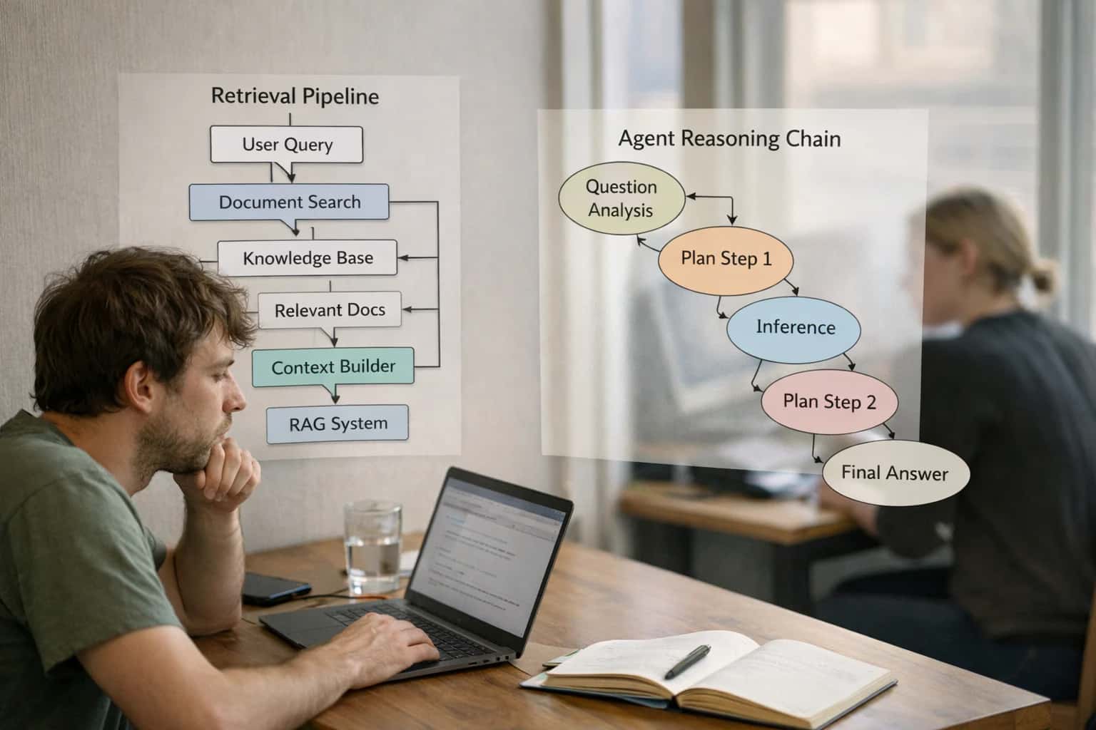
Enterprise searchRAGPermissions
Read more
Automate internal workflows
Use AI to route work, draft outputs, trigger actions, and keep approvals and logs in place.
Useful when repetitive work moves across multiple tools and teams.
AI agentsWorkflow automationGovernance
Read more
Add AI to products and internal tools
Build assistants, guided actions, or decision support into the software your team or customers already use.
Useful when AI needs to be part of the product, not a separate tool.
AI integrationDecision supportModel routing
Read more
About the author
Prasad Kumkar
CEO & MD, Inference Systems
Prasad Kumkar is the CEO & MD of Inference Systems and writes about AI systems architecture, LLM infrastructure, model serving, evaluation, and production deployment. Over 5+ years, he has worked across computer vision models, L5 autonomous vehicle systems, and LLM research, with a focus on taking complex AI ideas into real-world engineering systems.
His work and writing cover AI systems, large language models, AI agents, multimodal systems, autonomous systems, inference optimization, RAG, evaluation, and production AI engineering.
LinkedIn
Limited slotsGet a Free AI Consultation
Partnered with leading AI, data, and software stack.


How We Work
Custom AI workflows for your Business
One-fit-all AI don't work for modern businesses. At Inferensys, we aim to understand your business & custom requirements; which we use to define most efficient agentic workflows, the data, and the tools for your business.
01
Review the use case
We understand the task, the users, and where AI can actually help.
Read more02
Pick the right approach
We define what needs search, automation, or product integration.
Read more03
Build the first useful version
We implement the part that proves the value first.
Read more04
Improve from there
We add the checks and visibility needed to keep it useful.
Read moreThe first call is a practical review of your use case and the right next step.
Talk to Us