Manual satellite image analysis is slow, costly, and prone to human error, creating critical intelligence gaps.
Services
Geospatial Computer Vision for Object Detection
Specialized development and deployment of computer vision models trained on aerial and satellite imagery to identify and track objects with high precision for security and logistics applications.
INEFFICIENCY AT SCALE
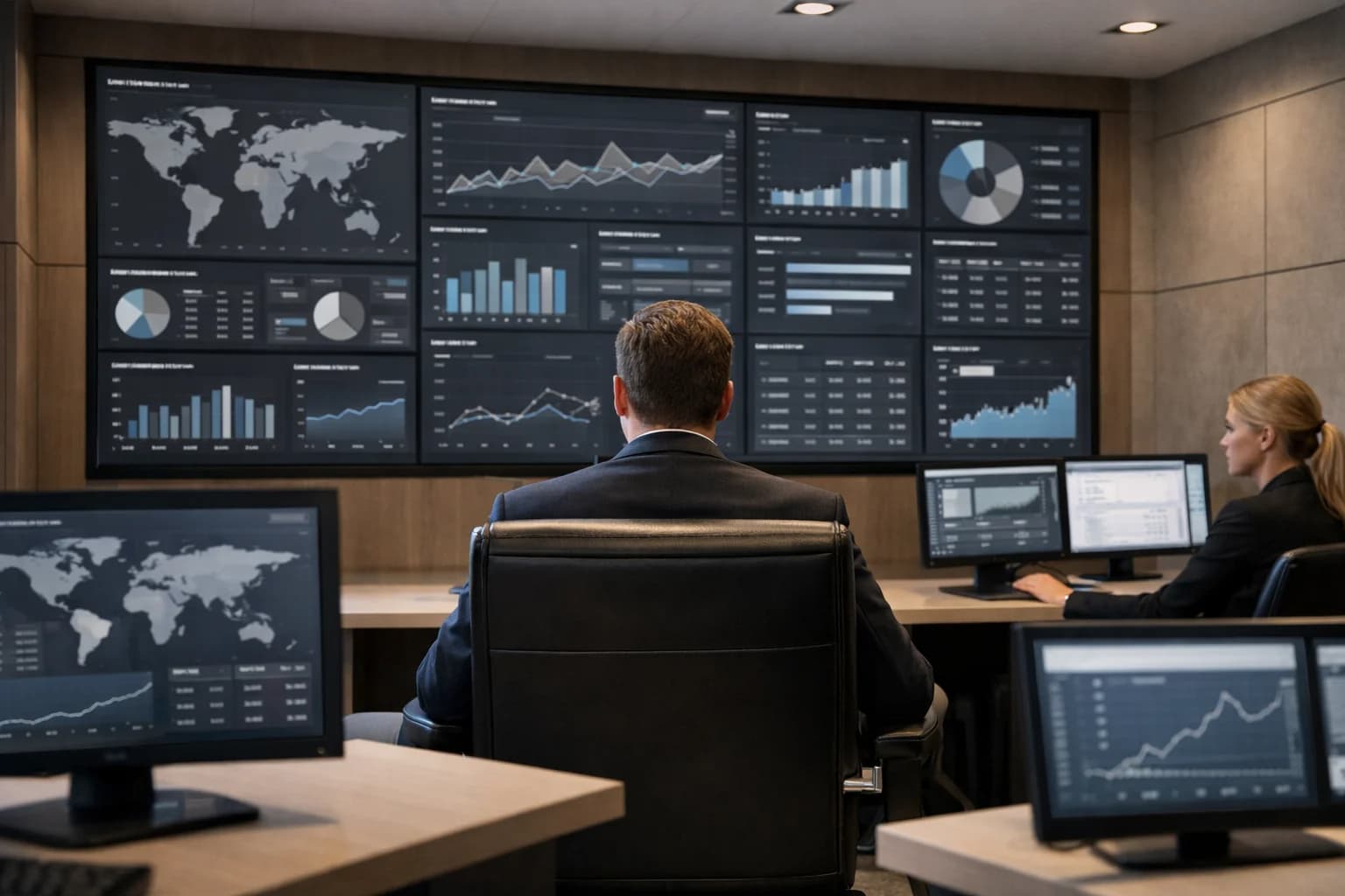
The Challenge of Manual Geospatial Analysis
Traditional geospatial intelligence relies on analysts manually scanning thousands of satellite images—a process that is painfully slow, impossible to scale, and vulnerable to oversight. Key objects and subtle changes are easily missed, leading to delayed decisions and operational risk.
Our geospatial computer vision service automates this process, delivering 99%+ detection accuracy for objects like vehicles, ships, and infrastructure at planetary scale, turning imagery into actionable intelligence in minutes, not months.
- High Latency, Low Throughput: Manual review of a single high-resolution satellite scene can take hours. Our AI pipelines process petabytes of imagery from constellations like Sentinel and Landsat in parallel.
- Inconsistent & Error-Prone: Human fatigue leads to inconsistent labeling and missed detections. Our custom-trained models (e.g., YOLO, Detectron2) provide deterministic, repeatable analysis.
- Sky-High Operational Costs: Scaling a team of expert analysts is prohibitively expensive. Automate detection and tracking to reduce analysis costs by over 70% while freeing your team for high-value strategic work.
For enterprises requiring real-time situational awareness, this manual bottleneck is a critical vulnerability. Explore our approach to planetary-scale satellite imagery AI processing or learn how we build Geospatial RAG Systems for accurate, sourced intelligence reporting.